Tracce GPS:
– File.gpx
– File.tcx
– File.kml
Itinerari presenti: 20
Difficoltà: da 5b a 7c
Lunghezza itinerari: fino a 14 m
Fonte: http://www.finalebythomas.com
Dove potrete trovare maggiori informazioni tecniche
By car (from Finale Ligure’s train station FF SS) to “Park Cianassi”: you take the first way out to the right in the roundabout, and you drive on the national road Aurelia (Strada Statale SS1), direction Ventimiglia, for about 350 m. Then, you turn right to the SP490 until the roundabout in Finalborgo. You take the first way out and then you turn left joining the SP17. After 1,7 km of driving, you will have to turn right following the signal “Perti Alto” into a narrow and uphill road. This road leads to the square of Perti Alto and, after about others 2,1 Km, to the open space called “Cianassi” where you can park.
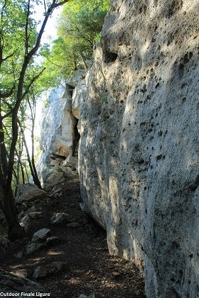
From the open space “Cianassi”, take the central unpaved road alongside the vineyard. Before the road becomes paved, you take the trail on your left side, marked with white and red stripes. The trail leads to a fork: turn right and follow the hints to the crag.