Tracce GPS:
Itinerari presenti: 8
Difficoltà: da 4c a 6c
Lunghezza itinerari: fino a 30 m
Fonte: http://www.finalebythomas.com
Dove potrete trovare maggiori informazioni tecniche
By car (from Finale Ligure’s train station FF SS): you take the national road Aurelia (Strada Statale 1) in the direction of Savona for 1.6 Km until the fork with the SP8 (Via Calvisio, before the tunnel). Continue along this way for about 2.3 Km to reach the little bridge in where the road leads to Verzi. Go up this road to arrive to the junction with an unpaved road (on your left hand side) and follow this new road for about 500 m until you reach an open space where you can park your car. (The car journey is 5.3 km long).
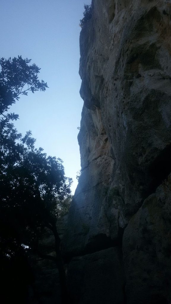
Now you have to take the little trail on the left crossing the usually dry stream. The trail goes now up hill and reaches the crags.