Tracce GPS:
– File.gpx
– File.tcx
– File.kml
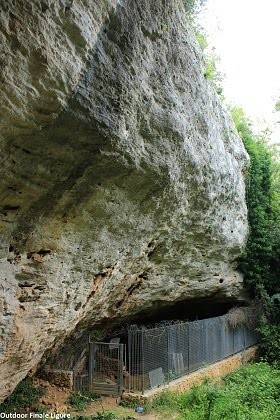

Itinerari presenti: 5
Difficoltà: da 7b a 8a
Lunghezza itinerari: fino a 15 m
Fonte: http://www.finalebythomas.com
Dove potrete trovare maggiori informazioni tecniche
By car (from Finale Ligure’s train station FF SS): you take the National Road (SS1) Via Aurelia toward Savona for 1.6 Km until the roundabout with the SP8 (Via Calvisio, before the tunnel). You join “via Santuario” (second exit) and then you turn right on the street going uphill called “Via Manie”. This is the road SP45. You drive on for about 6.3 Km to reach an old church that is now a restaurant, Here you turn left to reach a second church (San Giacomo) where you turn left again. This road leads to a parking area next to a restaurant. You can park here
Total length: 8.6 Km
From the parking area, you take the trail to the left (trail mark: two red squares) following the signals to “Val Ponci” for about 700m. Then a little trail starts on the left, almost hidden in the vegetation. It leads to the archeological site “Pian del Ciliegio” and to the crag.